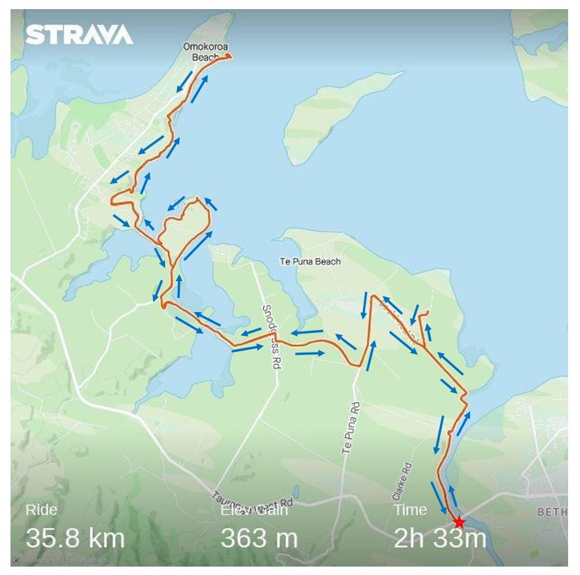
Wairoa Bridge to Omokoroa and return
Approx: 34.98km 21.67 miles
Time: 2 hours 33 minutes ride time
About this ride:
Area: Tauranga. Suburbs: Te Puna and Omokoroa
This is a mainly flat ride taking in coastal views with a few hills, off road fine gravel tracks, concrete paths and some country roads.
Bike Type: Mountain bike or any bike with a wider tyre
Park and Start: There is a parking area on the southern side of the Wairoa Bridge. Also toilets here and often a coffee cart.
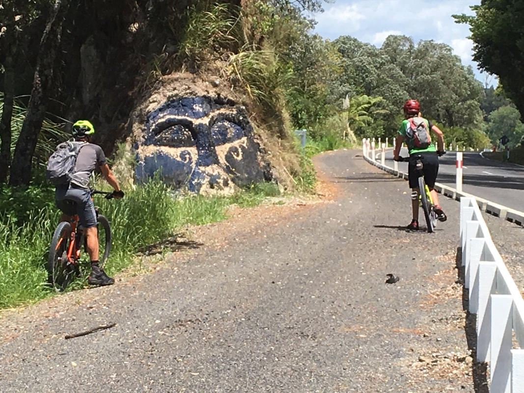
Directions: Heading down steam ( that is the bike clip on path side of the bridge ) on the concrete path alongside Te Puna Station Rd for approximately 1.5km, through the car park on your right at the bend and under the rail way. Follow the path which then comes out onto Lochhead Rd for 550m.
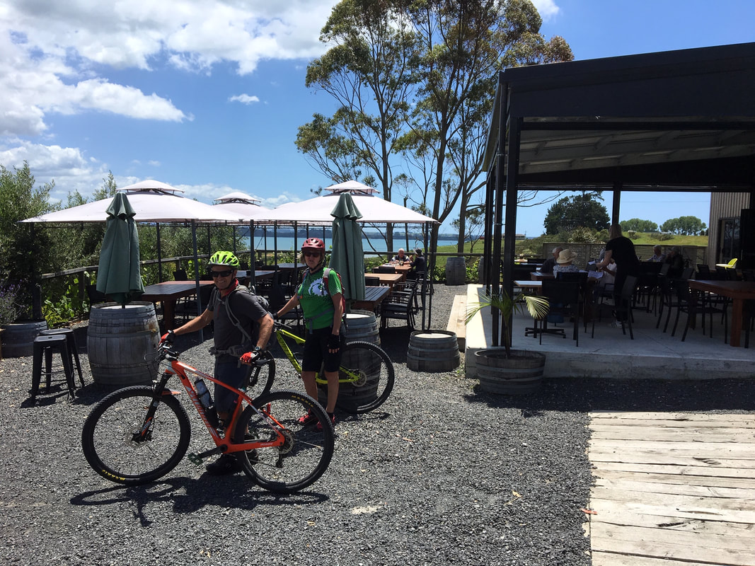
Place of interest: on your right will be Oikimoke Rd, 550m down here is the Cider Factorie, at 50 Oikimoke Rd, 07 5524558 Open Wednesday to Sunday, 11-4pm well worth a stop for food and drinks and to enjoy the fabulous outlook.
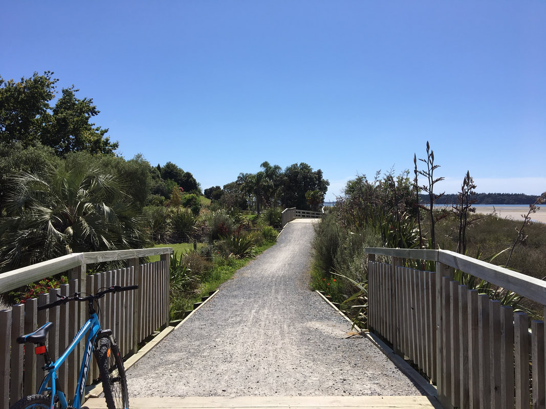
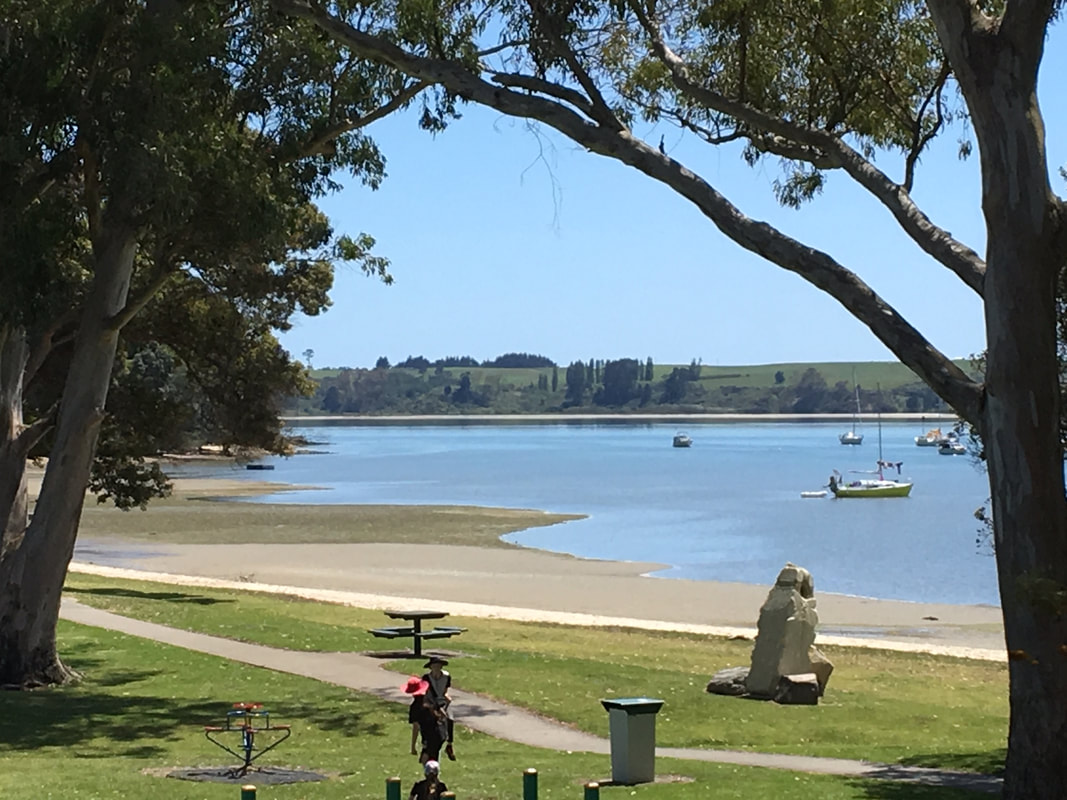
Continue on Lochhead Rd for 1.2km. Left into Te Puna Rd for 1.2k. Right into Borell Rd for 1.5km. Right into Snodgrass Rd for 140m. Left into Newham Rd for 500m then continue on the off road path and over the bridge. This comes out onto the Te Puna Estuary and Jess Rd Wetland onto Jess Rd. Right into Jess Rd for 220m ( it is easy to miss this turn into the wetland on your return, take note of it now, between the rocks ). Right into Plummers Point Rd for approx. 2km. If you ride up onto the grass verge reserve ( right hand side of the road ) as you ride this road you will be amazing views of the harbor. Ride through Huhurua Harbour Park on the Plummers Point Cycleway, turning right across the bridge on the Omokoroa Cycleway, riding 700m on Lynley Park Drive for 700m turning right at the roundabout onto Lakeside Terrace for 400m which flows onto the Omokoroa Cycleway. This takes you through Cooney Reserve and onto the Esplanade Road Reserve to the Omokoroa Wharf, play area and beautiful beach.
Eating places here: Beached on blue Café at 4 The Esplanade 07 5480279 or at the Omokora Boat Club Skippers Restaurant 075480960
Return the way you came: following the Esplanade and Omokoroa Cycleway that is well sign posted.
After Lynley Drive ride through Tamihana Park and over the bridge, stay on the Omokoroa Cycleway, do not turn left which is the way you came. Right into Plummers Rd, left into Jess Rd for 220m * watch out for the turning into the Wetlands, Left onto Snodgrass Rd, Right into Borell, Left into Te Puna Rd, Right into Lochhead then following the off road path into Te Puna Station Rd and back to your car.
This trail is well sign posted with blue marker posts.
Click here to download detailed route description


34.89 km 21.67 miles
2 hours 33 minutes ride time.
Approx 1 km return to the Cidery
2 hours 33 minutes ride time.
Approx 1 km return to the Cidery